Want to know how far that hike is?
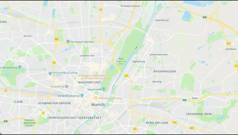
To Measure Distances in Google Maps
- In Google Maps search for or navigate to the desired area.
- RT + CLICK on the starting point and select Measure distance.
- CLICK on the the endpoint (repeat this step for multiple turns/points).
Cheers!
quincy
Related Posts:
Author: quincy harley jr
Quincy is a technophile, coach and Learning Development expert. He has an extensive legal IT background and is practiced in MS Office application support and product development. As a project leader he has been integral in numerous new application rollouts. Whatever spare time he has, is spent with reading, archery and watching his young sons grow.
View all posts by quincy harley jr

7 thoughts on “Measure Distances with Google Maps”